NASA created interactive map to explore Mars
The CTX offers a broader view of the terrain of Mars, which NASA says will help scientists better understand the landscape of the red planet
The National Aeronautics and Space Administration (NASA) published an interactive map that allows you to explore the surface of Mars, under the name of Global CTX Mosaic.
Internet users can tour the red planet through 110,000 images collected by researchers at the California Institute of Technology (Caltech), which they obtained through NASA’s Mars Reconnaissance Orbiter.
“I wanted something that was accessible to everyone. Anyone can use this tool now. My mother, who just turned 78, can use this map. The goal is to lower the barriers for people interested in exploring Mars,” Jay Dickson, the lead scientist for the project, said in a statement.
Photographs of the red planet cover almost 25 square meters of surface area per pixel; that is, in a single photograph a large segment of the planet can be observed.
The map captures geological features such as cliffs, impact craters, dust swirl tracks, and dust storm tracks on Mars.
The CTX offers a broader view of the terrain around those features, which NASA says will help scientists better understand the Red Planet’s landscape.
CTX allows you to choose images of river channels, now dry, that stand out in the landscape. Also, it allows you to explore regions such as the craters called Gale and Jezero, or Olympus Mons, the highest volcano in the solar system.
NASA estimates that a landing on Mars, the closest planet to Earth, would be possible in the late 2030s or early 2040s.
Both scientists and the public can navigate a new global map of Mars that shows cliffs, craters, and dust devil tracks in mesmerizing detail. It uses a mosaic composed of 110,000 images from NASA’s Mars Reconnaissance Orbiter. See more and try it yourself: https://t.co/TO69fe9pBK pic.twitter.com/4Dq0KnsVum
— NASA Mars (@NASAMars) April 5, 2023
With information from El Sumario
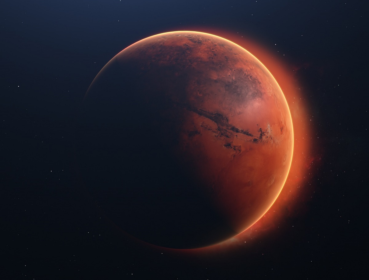
(Reference image source: Javier Miranda, Unsplash)
Visit our news channel on Google News and follow us to get accurate, interesting information and stay up to date with everything. You can also see our daily content on Twitter and Instagram