Seismic sensors also serve to alert about floods
Seismic sensors, such as those installed to detect earthquakes, could also detect flooding and act as an early warning system to minimize damage and save lives
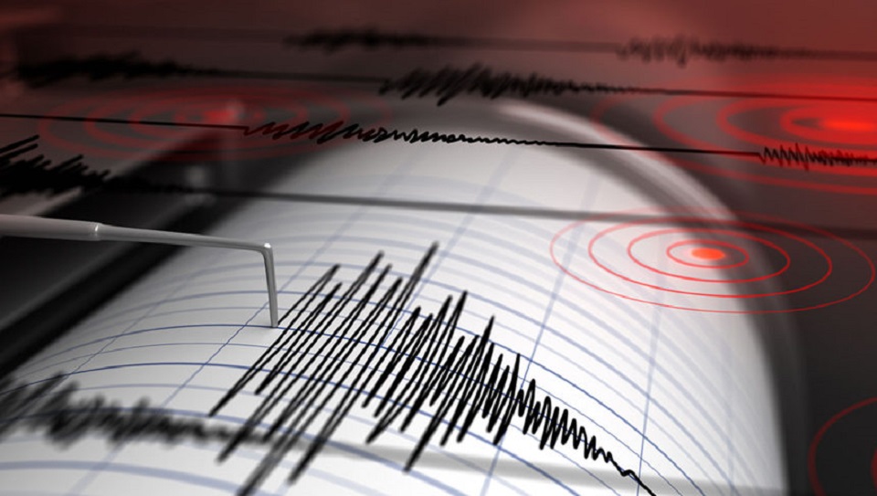
According to new research published in Geophysical Research Letters, many river valley floods are monitored by river gauges, which can roughly track the water level of a flood. However, meters can be in short supply, infrequently updated, and at risk of being swept away in a flood. Seismic stations are installed at a safe distance from streams and detect not only ground shaking due to earthquakes, but also vibrations from explosions, landslides, storms and floods.
Previous research on seismic flood monitoring has been limited to detecting a flood and indirectly tracking its evolution, particularly for glacial floods.
The new study goes a step further, using seismic signals to estimate flood velocity, water level and debris, Michael Dietze, lead author of the study and a scientist at the University of Göttingen, said in a statement. “This study paves the way for real-time flood anatomy, with values that can be used” to provide real-time hazard updates, Dietze said.
Researchers have pieced together the fatal spread of a disastrous 2021 flood in Germany, which killed nearly 200 people. The team used an existing seismic seismometer station near the flood path as a flood detection and monitoring tool. These seismic data were the only systematic source of quantitative information on how the flood evolved because three existing water level stations along the main river were destroyed prematurely.
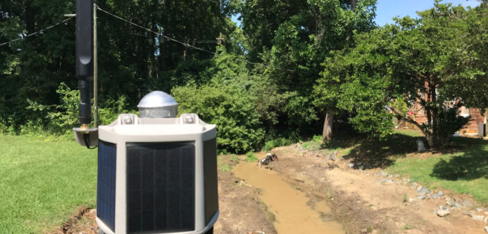
Flood Sensor
The team found that the seismometer illustrated the flood path for an hour as floodwaters passed through the steep and winding Ahr Valley, south of Cologne. By combining mathematical models, the researchers were able to estimate how fast the flood moved, extract information about water level rise, and estimate the amount of debris, such as gravel, cars, and oil tanks, that was being swept away by the flood.
Measuring the “seismic footprint” of a flood (its magnitude, speed and trajectory) in real time could be used for protection against future floods, providing the information needed to optimize flood behavior models for warning and rescue initiatives.
Dietze and his colleagues are currently working on a plan to identify more areas at risk of flooding and equip them with pairs of inexpensive “watchtower” seismometers. Using two or more seismic sensors, rather than a single sensor as in the study, would provide scientists with more robust information, Dietze said. Installing such “watchtowers” would cost a fraction of a percent of the damage caused by future flooding, according to the researchers.
Click the link to subscribe for free to our news and media group on Telegram: https://t.me/G_ELSUMARIO_News
Source: dpa